Aerial Landscape
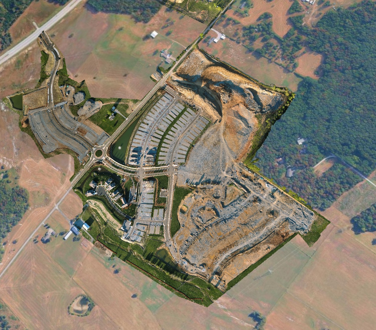
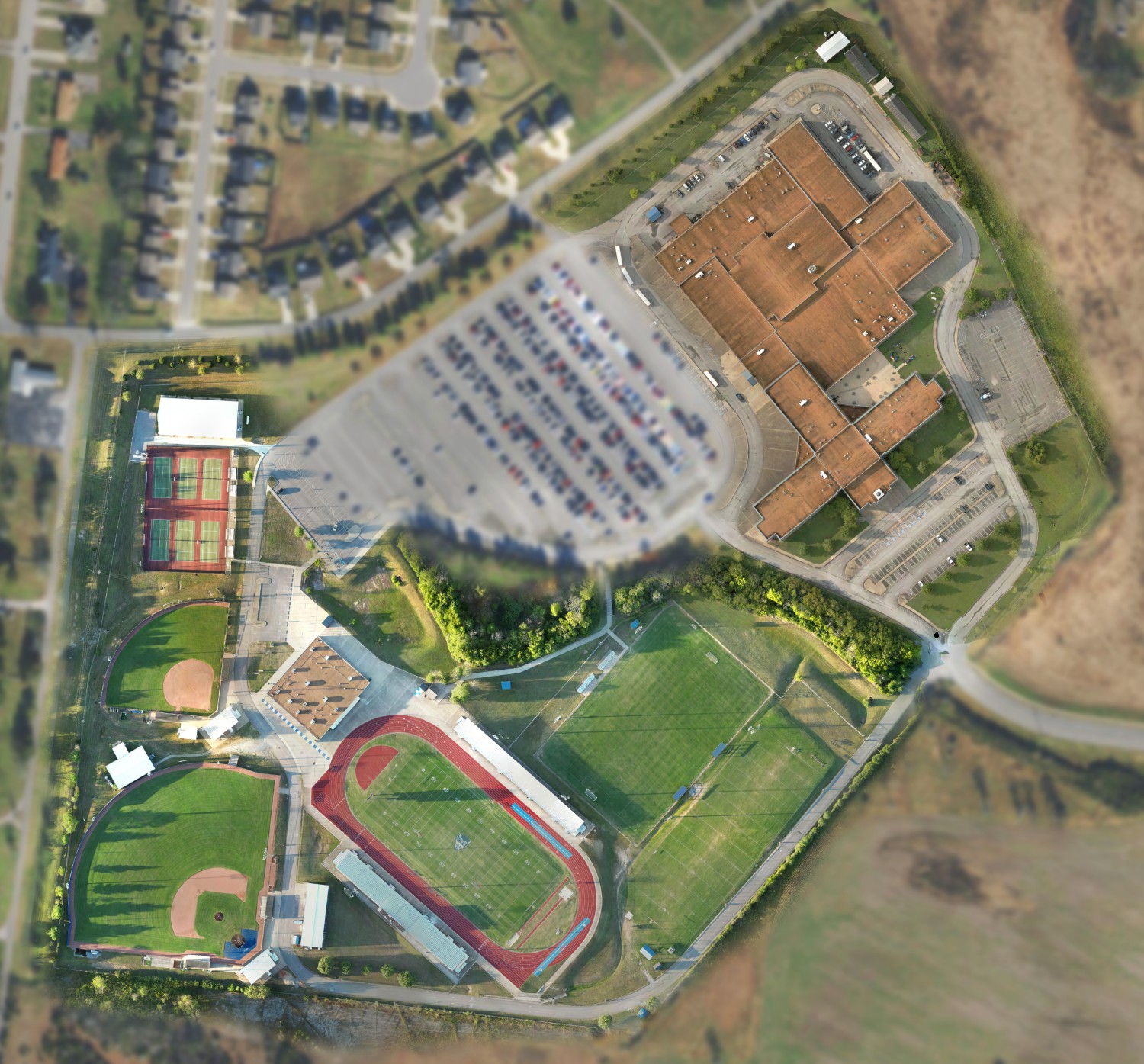
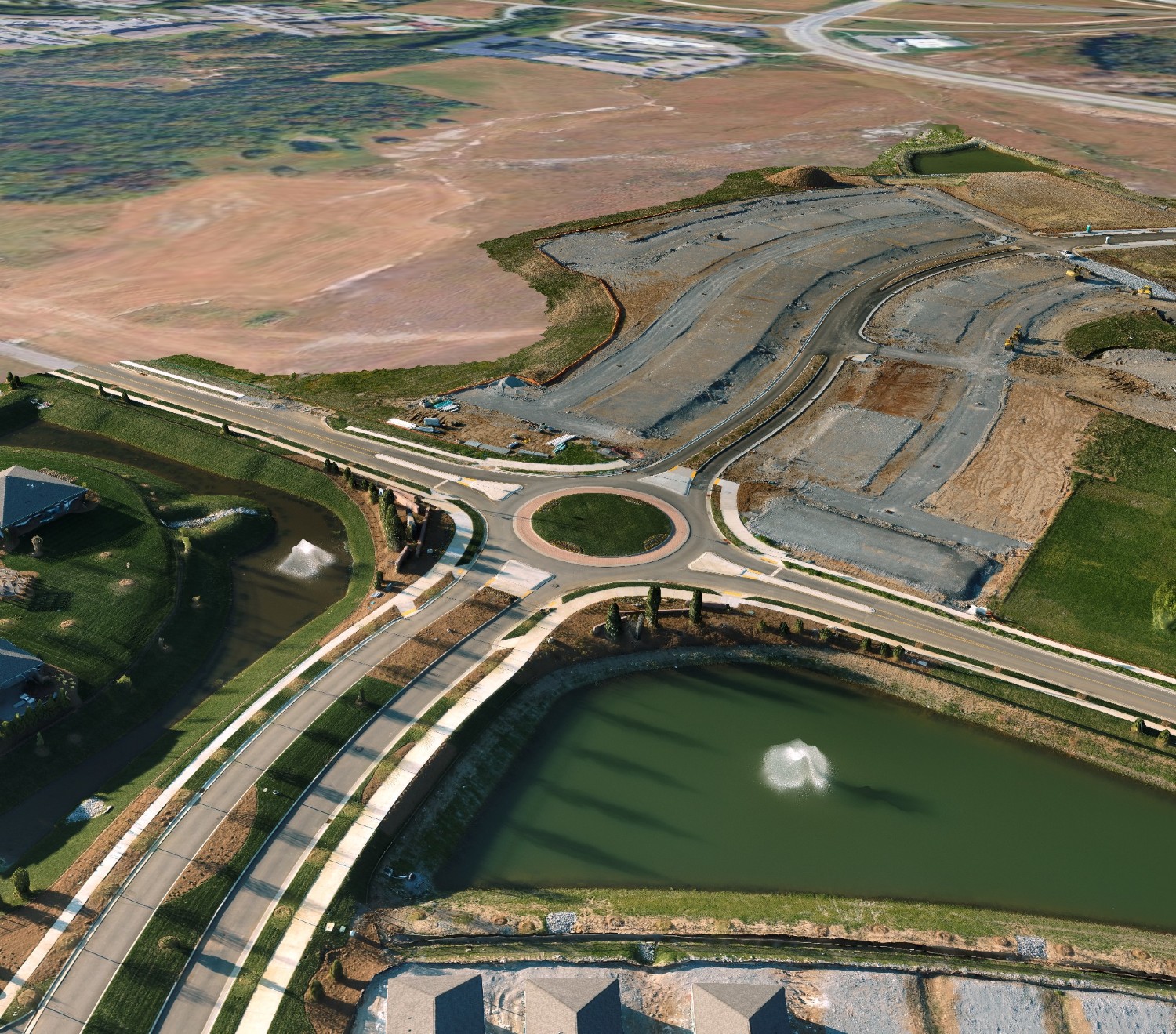
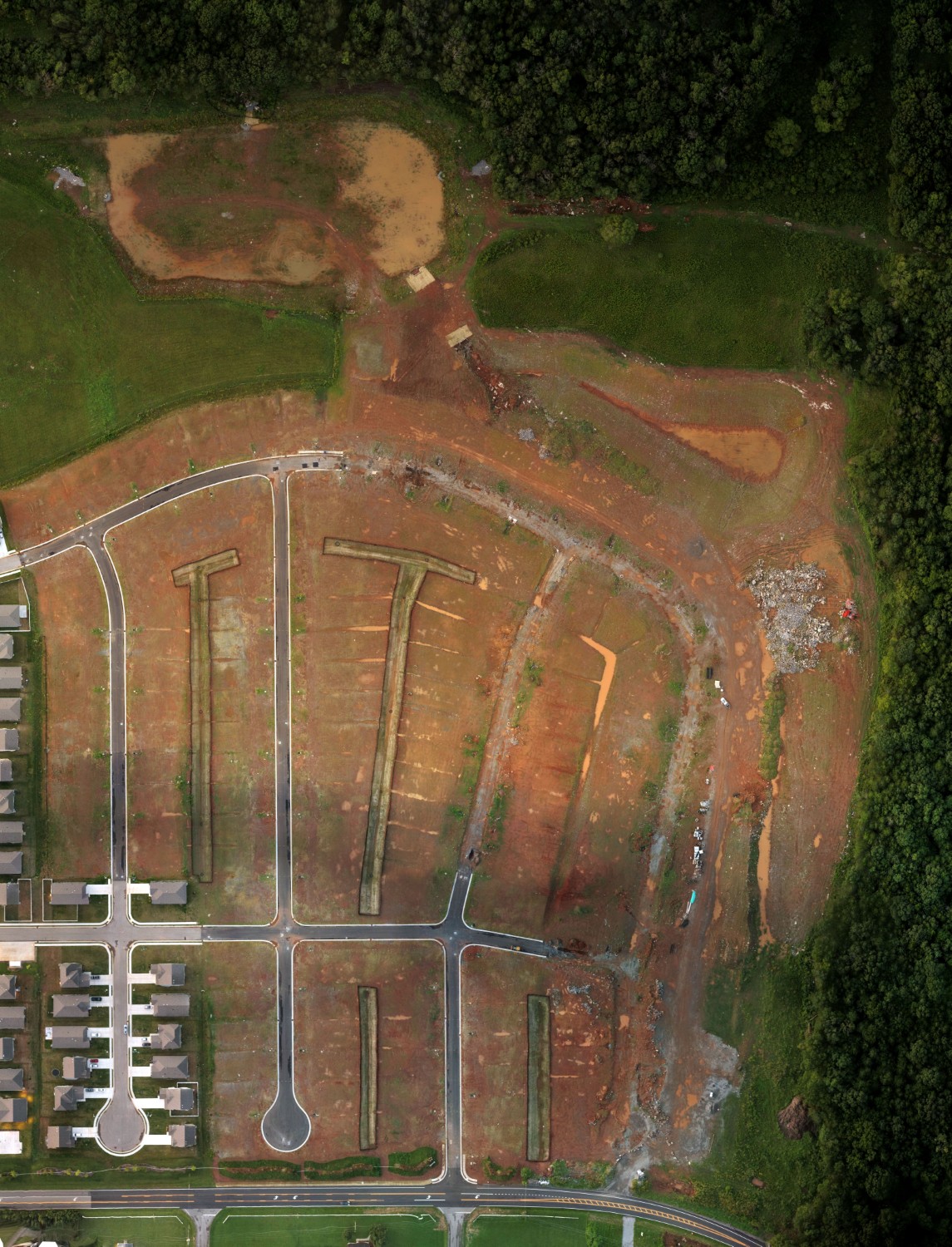
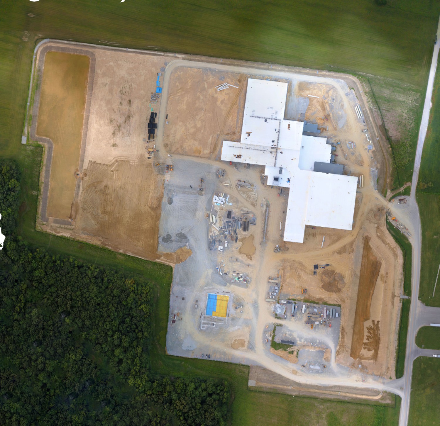
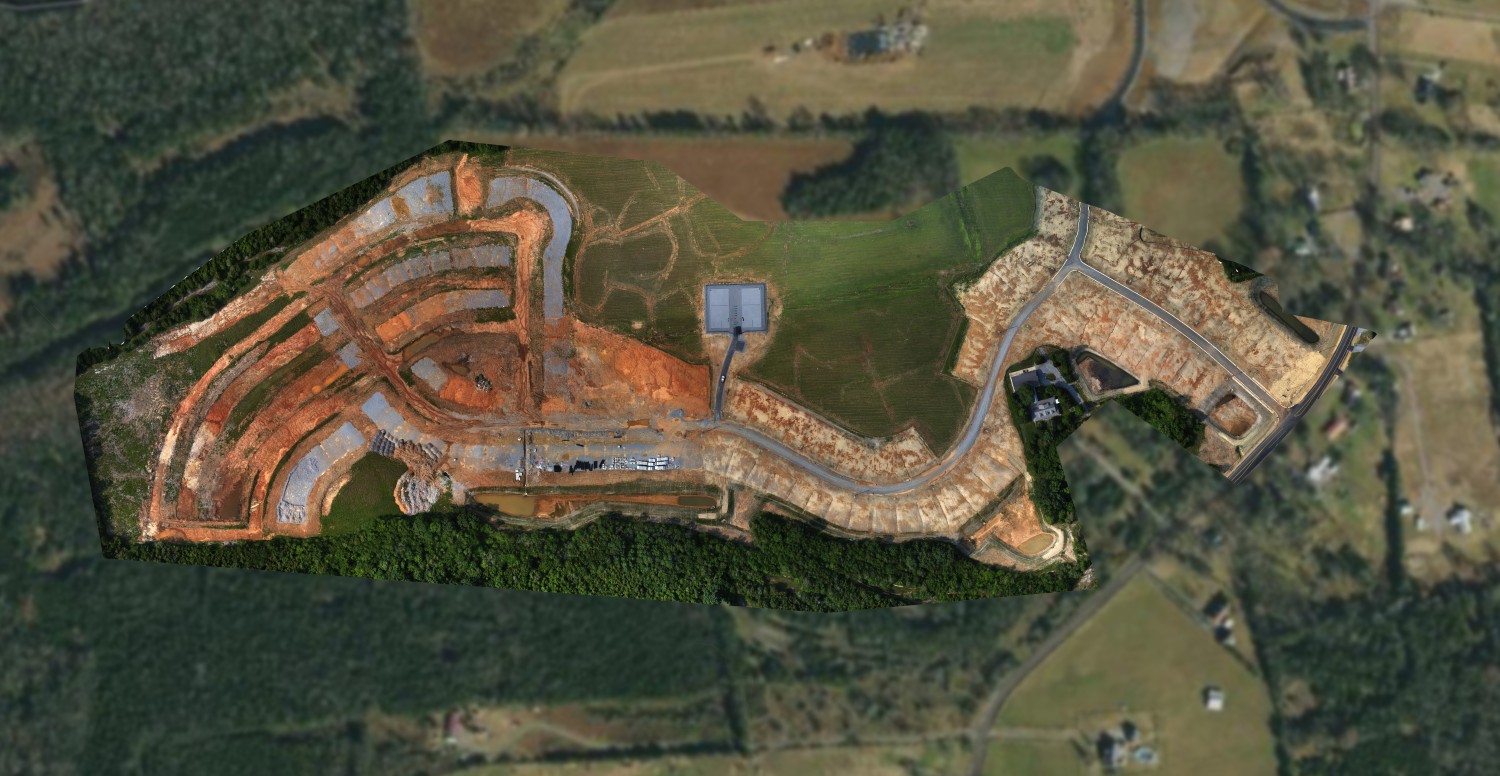
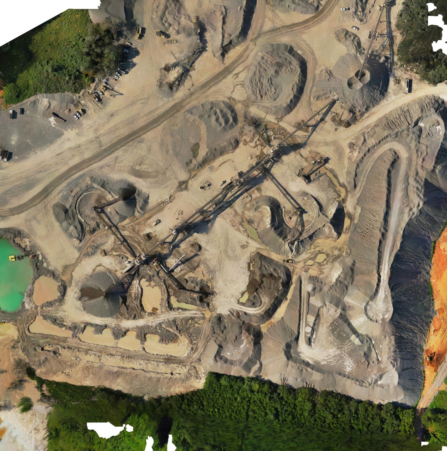
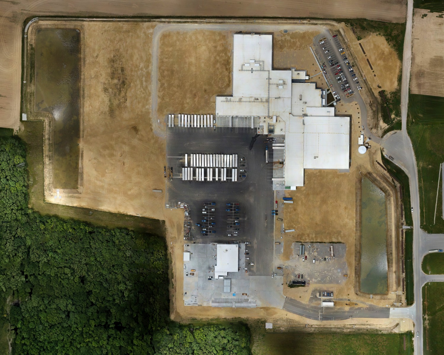
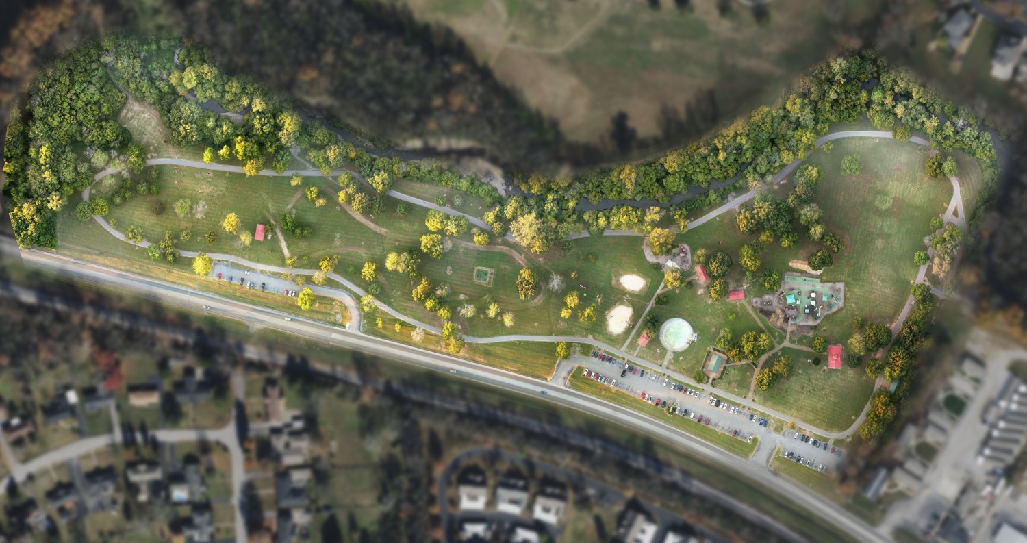
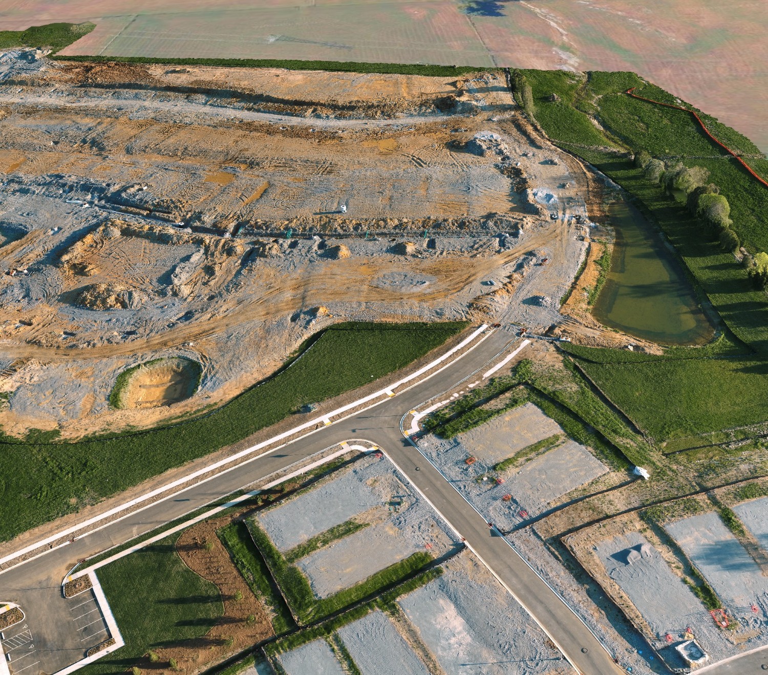
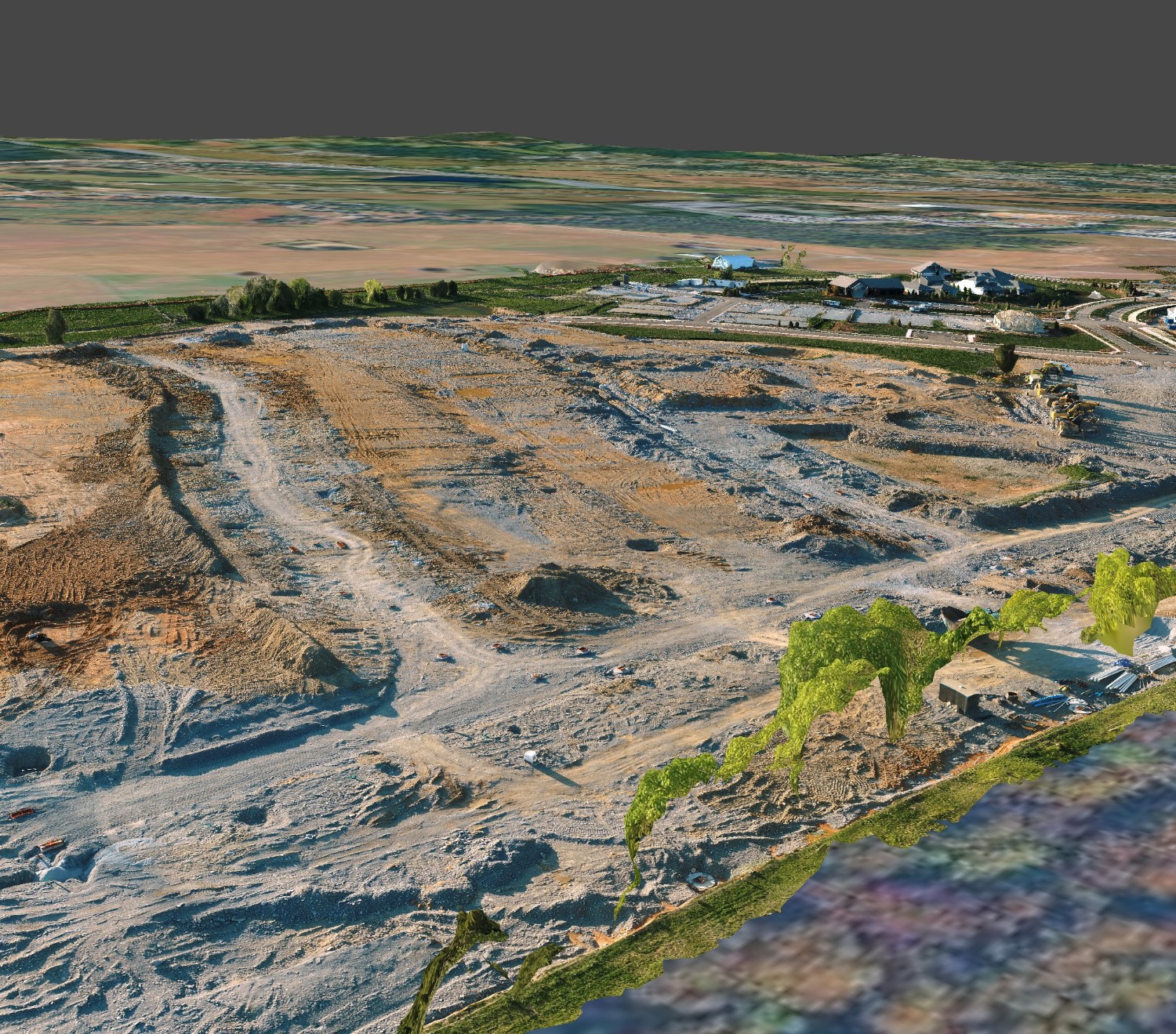
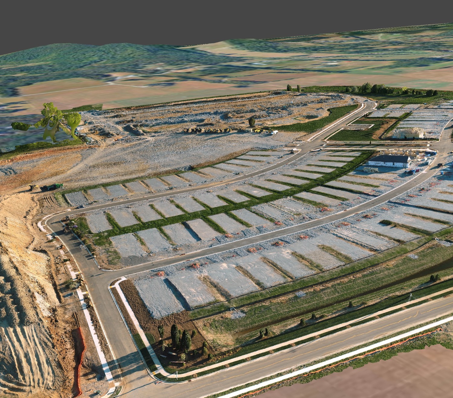
Tough Jobs | Easy Data Flow

MIDDLE TN
DATA CAPTURE

"Stop Building in the Dark." From golf courses to bridge decks, we turn chaotic job sites into precise digital twins. High-fidelity drone mapping for Tennessee's toughest projects.

Construction Texture

CONSTRUCTION
SERVICES

Don't guess. Measure. Complete documentation and quality control.

Construction Site

DIGITAL TWIN GENERATED

STREAMLINED DOCUMENTATION

Replace disjointed photos with a complete visual record. Our "digital twin" approach ensures every stakeholder sees the same reality, reducing disputes.

QUALITY ASSURANCE

Catch deviations early. Overlay drone maps onto CAD drawings to spot misalignment in concrete or trenches before rework costs spike.

LOGISTICS & SAFETY

Plan crane locations and staging areas with up-to-date aerial views. Optimize site layout for smooth operations and safety compliance.

SUBCONTRACTOR VERIFICATION

Use objective visual data to verify work completed for billing. Foster transparency and trust with indisputable proof of progress.

Golf Course
Recreation & Property Management

TURF, TRAPS
& PORTFOLIOS

"Work Smart NOT Hard." Modernize maintenance with aerial intelligence.

πŸ’§

PREVENTATIVE MAINTENANCE

Shift from reactive to proactive. Detect roof cracks, HVAC issues, or irrigation leaks before they become major liabilities.

πŸ“Š

CAPITAL PLANNING

Make data-driven budget decisions. Get accurate measurements of roofs and parking lots for precise vendor bidding.

🌐

PORTFOLIO VISIBILITY

Inspect assets across multiple properties without leaving your desk. Centralized high-res views save travel time and expense.

πŸ†

TENANT SATISFACTION

Showcase well-maintained properties with 3D tours to attract high-quality occupants.

Forest Texture
Natural Resources

State Parks &
Public Lands

Managing Tennessee's vast natural beauty requires scale. We help rangers and land managers monitor thousands of acres without leaving the trailhead.

🌲

Vegetation & Habitat Health

Use multispectral sensors to analyze forest health, identify invasive species spread (like Kudzu), and monitor wildlife habitats non-invasively.

πŸ›€οΈ

Trail & Asset Mapping

Create accurate GPS maps of hiking trails and park assets. Safely inspect remote bridges and shelters to plan maintenance proactively.

πŸ•ΆοΈ

Virtual Tourism

Promote tourism by offering immersive 3D virtual tours of your park’s key attractions, waterfalls, and overlooks.

Park Aerial
CONSERVATION DATA

RADNOR LAKE

INFRASTRUCTURE AT RISK

TDOT data reveals a growing gap. With 52 "Poor" rated bridges in key counties alone, traditional inspection methods are too slow. We use UAVs to create digital twins, keeping inspectors safe and data objective.

$14,600
Cost of 1 Lane Closure
25%
Pavement at Risk
Bridge Inspection
DATA: BRIDGE_DECK_V2
Infrastructure
Education & Corporate

Efficient Campus
Management

Streamline facility maintenance, enhance security, and market your campus with comprehensive aerial data.

🏒

Roof & Facade

Safely inspect building envelopes to identify leaks, cracks, and maintenance needs without scaffolding.

πŸ”

Security Planning

Create detailed orthomosaic maps for security patrols, event logistics, and emergency response planning.

πŸ—ΊοΈ

Master Planning

Utilize up-to-date campus maps for future development, expansion, and architectural master planning.

πŸŽ“

Promotion

Generate stunning aerial photos and virtual tours to attract prospective students and faculty.

READY TO
BREAK GROUND?

Ambassador Program

Looking for Brand Ambassadors + Before/After case studies for our next
4 Hospitality/Recreation Customers.

TEXT 'AMBASSADOR' to 615-579-1491

ops@tnlandscan.com